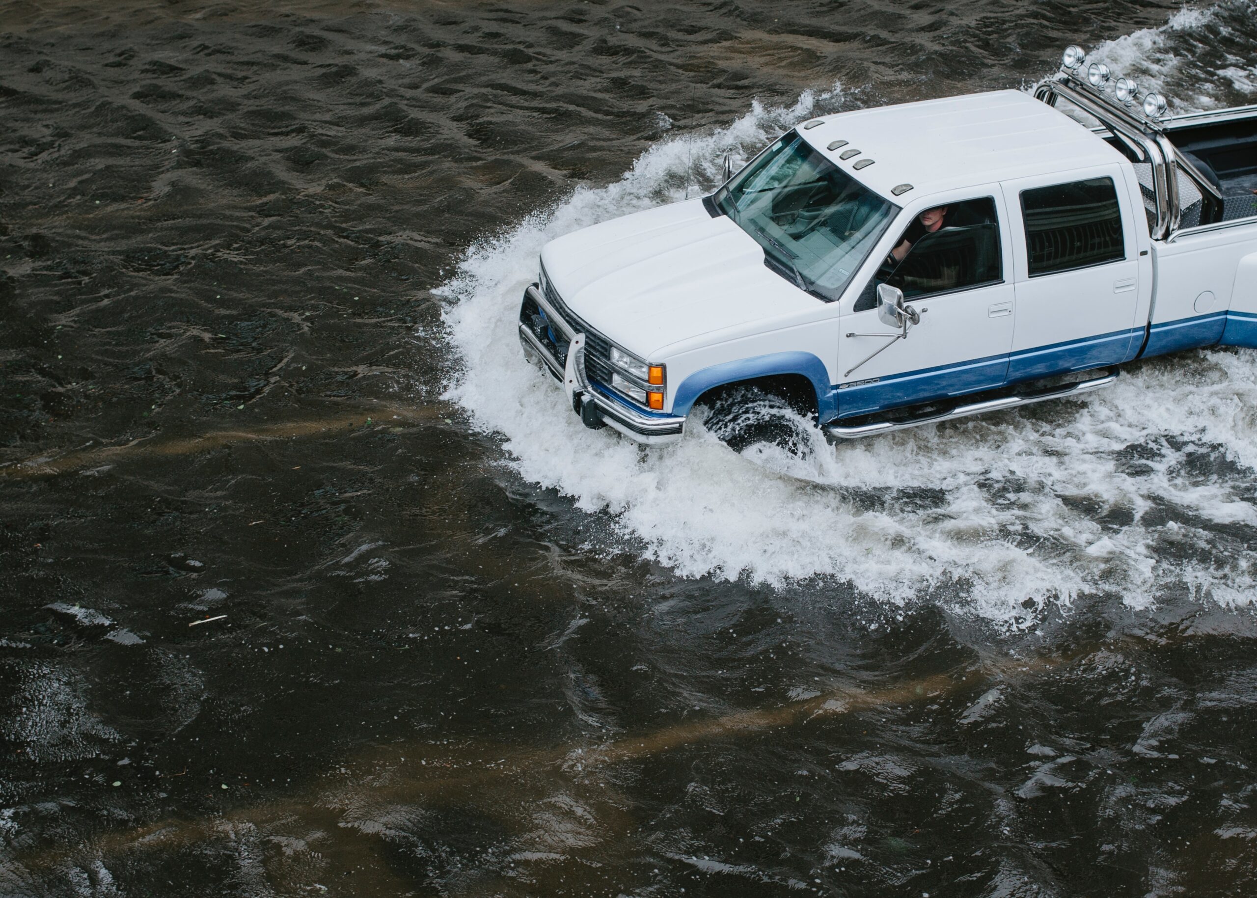
As the rains ease and river levels drop, residents are still cut off by damage to roads and bridges, and travellers remain stranded.
Now scientists are trying to understand this event and the challenge of clean-up and recovery.
The SMC asked experts to comment.
Dr Emily Lane, Hydrodynamics Scientist, and leader of Mā te haumaru ō te wai, flood resilience Endeavour project, NIWA, comments:
“Flooding is Aotearoa’s most frequent natural hazard, second only to earthquakes in terms of the dollars of damage it causes.
“In this case, the sheer amount of water that fell is the main issue, but there are also other exacerbating factors. The sea level is higher than usual at the moment because of the spring tides from the super moon last week and storm surge driven by strong winds and low air pressure. This intensifies the flooding in coastal areas as the water can’t drain away as fast. With the drought conditions Canterbury has been experiencing recently, the ground is less able to absorb water so more of it ends up in the rivers.
“While it is difficult to ascribe any one weather event to climate change, this event does illustrate an important point: Canterbury was in the grips of a drought recently and lack of water was a far bigger problem. Then suddenly when the water came, it came all at once. These sorts of extremes are expected to occur more frequently under climate change. The expected increase in these types of drought-flood cycles needs to be incorporated into future planning.
“Flooding is a part of what it means to live in Aotearoa and we can’t stop it happening. But the more we know about where it is likely to occur, how frequently and how this might change under climate change the more we are able to make sensible decisions about how to mitigate its impacts. That might include decisions on where (and where not) to build new housing developments, prioritising upgrades of old stopbanks, or even moving infrastructure to less flood prone areas. But we can’t do any of this well without the baseline information about flood hazard and risk. Our MBIE Endeavour project, Mā te Haumaru ō te Wai, is working on bringing together and creating this information at a national level, working with government, iwi and other stakeholders to build a more flood resilient Aotearoa.”
No conflict of interest declared.
Dr Jo Hoyle, River Geomorphologist, NIWA, comments:
“Braided rivers such as the Rakaia, Waimakariri, Ashley and Selwyn Rivers have gravel channels that shift laterally in response to floods, including the extreme floods caused by the recent deluge. These lateral movements mobilise and transport previously dry land downstream. This is a completely natural thing for rivers to do, and braided rivers are particularly dynamic in this regard. The problem is that the dry land adjacent to braided river channels is often used for farming, and bed-mobilising floods put this land (and livestock and farm infrastructure) at risk. Tree planting and rockworks are used in many areas to stabilise farmland near braided rivers, and stopbanks are used to prevent inundation. These actions confine rivers into smaller beds and alter their behaviour during floods; they can also exacerbate the effects of floods when stopbanks are breached.
“The braided rivers that experienced the most extreme flooding this week were relatively small rivers with headwaters in the eastern foothills of the Southern Alps, like the Selwyn, Ashley, Hinds and Ashburton. Floods in these rivers are dominated by runoff from intense northeasterly rainfall, as we’ve just experienced. The floods this week far exceeded the 10-year event record levels in most of Canterbury’s small braided rivers. Floods in the large alpine rivers, like the Rakaia and Waimakariri, are strongly affected by westerly rain moving over the Southern Alps, and less by northeasterly rain. So the floods this week in the alpine rivers were relatively moderate, though dramatic.
“We have a long-term research programme underway at the Selwyn River, including channel surveys that are used to predict geomorphological responses to flood events. The flood this week represents a valuable (and extreme) event, both for river science and for managing natural hazards. But you can’t manage what you don’t measure – we’re looking forward to resurveying the Selwyn as soon as the flood recedes.”
No conflict of interest declared.
