The West Coast region of the South Island has declared a state of emergency following torrential rain on Tuesday night and Wednesday morning.
There has also been a slip on State Highway 73 between Arthur’s Pass and Christchurch, near Candys Creek.
Professor Tim Davies, Dept of Geological Sciences, University of Canterbury, comments:
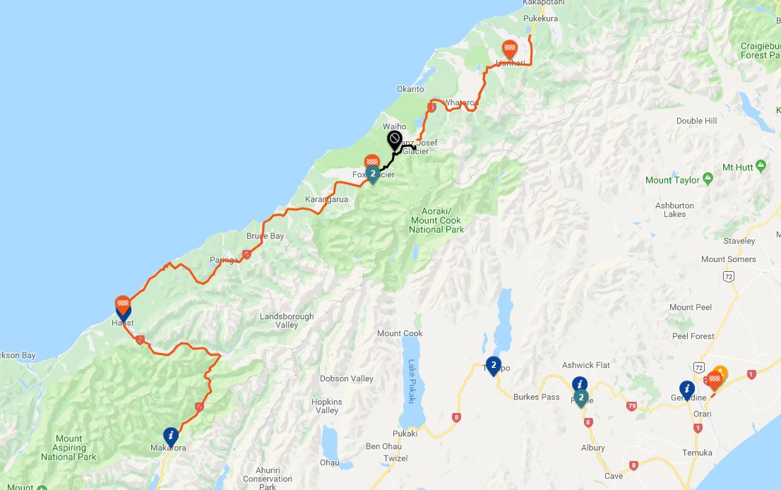
“The 26 March 2019 storm has badly affected road transport along the West Coast of the South Island. Rainfalls were very high in places, and, as is normal in bad weather, there were numerous slips and washouts that cut SH6, SH73 and other roads. Given the intensity of the storm, though – the worst since 1982 according to some experts – damage was relatively light and easily repairable, with one exception.”The failure of the SH6 bridge across the Waiho River is the first time this structure has been badly damaged since the glacier burst flood in December 1995, which eroded 15 m of the northern approach to the bridge. Yesterday’s failure has caused tourist traffic, most of which intends to traverse the whole of SH6 between Hokitika and Wanaka, to effectively cease south of Hokitika.
“The reason for the Waiho damage (the river also flooded the Franz Josef airstrip, and is also reported to have sent a very high flow across to the Tatare River to the north) is that the bed of the Waiho has been rising (aggrading) rapidly since the mid-20th century. Since 1982 the bed at the SH6 bridge has risen about 6 m, and the long-term aggradation rate is about 17 cm per year, according to NZTA and NIWA data. While the underlying cause of this aggradation is not completely understood, it has been exacerbated by the presence of stopbanks on both sides of the river since the 1970s, intended to keep the river in its pre-1980s bed. The Waiho is the only major West Coast river to experience this problem; but it only takes one bridge failure to halt all west coast tourist traffic.
“It is therefore of the utmost importance and urgency to find a long-term solution to sustaining West Coast tourist traffic, and the Franz Josef community, alongside the natural behaviour of the Waiho River”
No conflict of interest.
Dr Caroline Orchiston, Deputy Director Centre for Sustainability, University of Otago, comments:
“The West Coast is a long, narrow region, with a road and bridge network that is also long and narrow with very little network redundancy. It is accessible only via alpine passes (Haast and Arthur’s) that are susceptible to closure by landslides during heavy rainfall and earthquakes.
“Because of the high mountains and the westerly weather systems, the Coast also experiences very high rainfall and so perennial flood and landslide hazards, and interruptions to the road network, are quite common.
“The Franz Josef area is a highly dynamic, hazard-prone environment because of the glacial valley and the Waiho River that flows from it. As the glacier retreats, more material (sediment, rock) is coming down the valley and so the river has been aggrading (or raising the river bed) downstream and beneath the Waiho bridge. Flood protection structures in the area have protected the township from floods in the past. The river in high flow presents a very significant risk to downstream communities.
“The human impacts of losing the bridge are significant, particularly for the movement of people and goods, including tourists. The West Coast circuit through the alpine passes won’t be possible until the bridge is repaired.
“NZTA has been working to a schedule of bridge and highway improvements on the West Coast to increase the resilience of the network in recent years. The highly dynamic natural environment of the West Coast means that there will be disruptions to the network, and the recovery of the network will rely on how quickly temporary bridges can be put in place.
“West Coast Civil Defence Emergency Management has been working with communities on the West Coast to develop local community response plans so they can be better prepared to look after themselves if they are isolated by road and air for a period of time.”