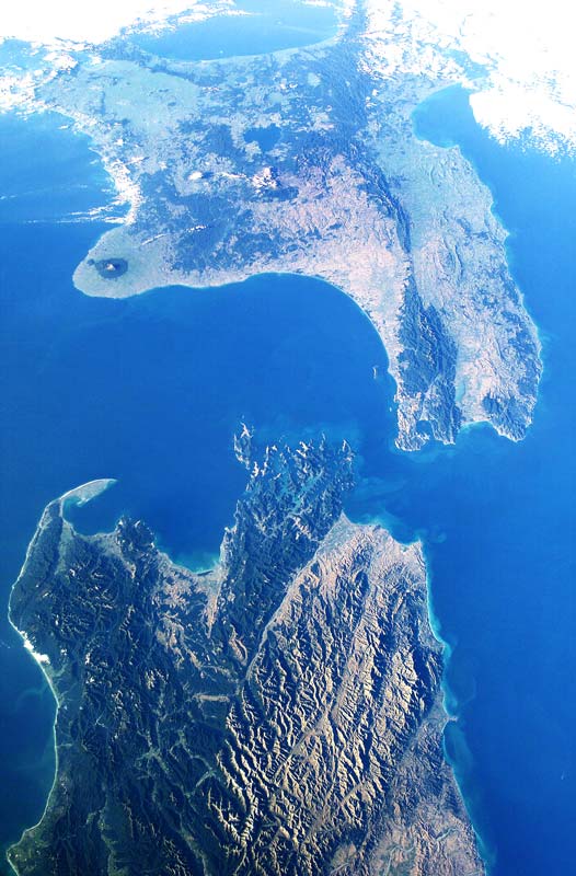
 Writing on the GeoNet blog, Public Information Specialist Caroline Little explains why geologists don’t know the location of every fault in New Zealand.
An excerpt (read in full here)
How come you guys didn’t know about that fault before the big earthquake occurred?
It’s a question we get a lot here at GeoNet given that all of New Zealand’s significant earthquakes in the past few years – Canterbury, Cook Strait and Eketahuna – have struck on previously unknown faults. And the answer is… complicated.
There are currently four simple ways to tell if a fault exists: we can see it (land deformation), we’ve heard about it (it’s in our written or oral histories), we’ve dug into the ground and can see it in the soils and rocks, or we’ve recorded an earthquake on it (read below why this isn’t necessarily useful for finding large faults). If it’s not one of those four ways, it becomes difficult to know if a fault exists in an area and if it can cause a significant earthquake. There is a fifth way but I’ll get to that in a moment…
How often do earthquakes happen on previously unknown faults?
Unfortunately the answer is a lot; a magnitude 6-7 earthquake occurring on an already identified fault is the exception rather than the rule. Luckily, the odds of larger earthquakes occurring on identified faults are much better; once we look into magnitude 7.8+ earthquakes, researchers are confident that all faults in New Zealand capable of these sized quakes have already been identified and mapped. Why? Because we can see them clearly in our landscape. A big earthquake requires a fault of significant length; large faults with the potential to generate magnitude 7.8+ earthquakes – like the Alpine Fault – will form a significant feature of New Zealand’s landscape and are therefore much easier to find.